

Providing High Quality 360° Drone Imagery for Real Estate
Search for properties, frame the perfect view, and download your images on the spot. Simplify and enhance your real estate listings with ease.
Aerial Photos from Every Angle
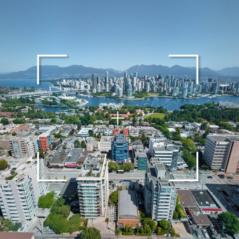
Frame and Capture Your Own Drone Photos
Fly over Vancouver and Victoria from an aerial perspective with our drone imagery database. Use the search bar to search by address and find the closest aerial view of your property. Interact with the 360 photo to frame-up the angle you need and click the screenshot button for instant licensing and download.
How it Works

EXPLORE
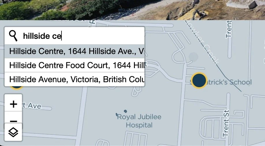
Use the map to see our coverage and find an area of interest to explore. Click any of the blue dots to access 360 drone imagery at that location.
SEARCH
After entering a 360 drone photo location, click the search icon to find an address and navigate to the nearest aerial view.

CAPTURE
Interact with the image to frame your own aerial photo. Once satisfied, click the screenshot button for instant licensing and download.
Our Coverage
-
![]()
Greater Victoria
-
![]()
Downtown Vancouver

